Alabama’s weather forecast: The heat ends with a strong front
Colder air will blast into Alabama through Saturday morning, and the weekend will feature the first real feeling of Fall weather we have had all season. Check the video forecast for the latest updates.
7-DAY FORECAST
SATURDAY: Blustery and cool. Morning lows drop to the upper 40s and lower 50s, and the temperature slowly recovers to the lower and middle 60s in the afternoon with a brisk north wind around 15 to 25 miles per hour with higher gusts. Rain chance: 0%.
SUNDAY: The coldest morning since early May. Lows around 40 to 45 degrees. Mostly sunny and mild in the afternoon with a light northeast breeze. Highs in the upper 60s. Rain chance: 0%.
MONDAY: Chilly morning, warmer in the afternoon with full sunshine and an east breeze. Highs near 70 degrees. Rain chance: 0%.
TUESDAY: Chilly morning. Mostly sunny and a bit warmer in the lower 70s in the afternoon. Rain chance: 0%.
WEDNESDAY: Mostly sunny. Warming quickly to the mid-70s after another chilly morning in the 40s to low-50s. Rain chance: 0%.
THURSDAY: Sunny and warmer in the afternoon. Highs temperatures back in the upper 70s. Rain chance: 0%.
FRIDAY: Cool morning followed by a sunny, warm afternoon. Highs near 80 degrees. Rain chance: 0%
THE HEAT WAVE IS OVER
This cold front has been a long time coming.
Birmingham averages about 67 days each year with temperatures of 90 degrees or higher. This year, the city has recorded 99 such days — the seventh-highest total since records began in 1895.
October’s scorching heat will finally end as the season’s first strong cold front moves across the state.
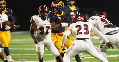
Temperatures will plunge into the 50s and lower 60s for high school football games, with north-northwest winds gusting to nearly 30 mph through the fourth quarter. It will feel even colder, especially after Birmingham reached 86degrees in the bright October sunshine before the front hit.
Birmingham has never recorded a 90-degree day later than Oct. 20, which occurred in 2016. That means the city is unlikely to see another 90-degree day this year. Warmer air will return late next week, pushing highs back to near 80 degrees by Thursday and Friday.
WEEKEND WEATHER
Finally, some autumn weather for the cold-weather lovers among us!
Saturday will be breezy and downright chilly in the morning. Temperatures will fall into the 40s by sunrise, and north winds will make it feel like the lower 40s. The entire day will be cool, with temperatures about 20 degrees lower than Friday and nearly 30 degrees lower than Wednesday. The wind will occasionally gust over 25 miles per hour, too.
Saturday night will be even colder, though frost is unlikely. Winds will not become calm, and temperatures will fall only into the upper 30s in the coldest areas.
The persistent northerly wind will create wind chills in the mid- to upper 30s north and east of Birmingham by Sunday morning, but by Sunday afternoon, the sunshine warms us into the 60s.
COLLEGE FOOTBALL
Alabama at Tennessee:Fall weather will be in full force across the upper Tennessee Valley for the 2:30 p.m. CDT kickoff at Neyland Stadium in Knoxville. Colder air behind Friday’s front will hold the daytime high near 59 degrees. Temperatures will be around 58 degrees at kickoff under sunny to mostly sunny skies, falling into the mid-50s by halftime and to about 50 degrees by the fourth quarter. Northwest winds of 10 to 14 mph, with gusts up to 20 mph, will make it feel even colder. No rain is expected, so leave the poncho at home and bring a heavy jacket.
Auburn at Georgia:Bright, crisp conditions are expected for the 2:30 p.m. CDT kickoff at Sanford Stadium in Athens. Tailgaters will see plenty of sunshine, with temperatures near 66 degrees at kickoff. Temperatures will fall to about 62 degrees by halftime and into the mid-50s by the final whistle. North-northeast winds of 8 to 11 mph will add a chill. No rain is expected, so rain gear will not be necessary.
Troy at Louisiana:Sunny, breezy and much cooler weather is expected for the 4 p.m. CDT kickoff at Cajun Field in Lafayette. Temperatures will be around 72 degrees under clear skies at kickoff. The dry air will allow temperatures to fall quickly after sunset, reaching the lower 60s by halftime and the upper 50s by the end of the game. North winds of 12 to 16 mph will continue throughout the game. No rain is expected.
Mercer at Samford:It will feel like mid-autumn for the 6 p.m. CDT kickoff at Pete Hanna Stadium in Homewood. Skies will be clear, with temperatures near 63 degrees at kickoff. Temperatures will fall steadily through the 50s during the game, reaching about 50 degrees by the fourth quarter and the upper 40s shortly after the final whistle. Light north winds of 5 to 8 mph will keep the air crisp. No rain is expected, so skip the rain gear and bring a warm sweatshirt or jacket.
NO STAYING POWER FOR THE CHILL
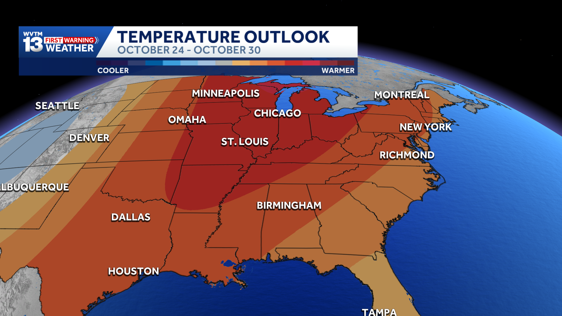
Alabama’s October cold snap will not last much longer. Temperatures will return to near-normal levels early next week, with highs in the mid-70s and lows in the lower 50s. However, no extreme heat is expected anytime soon.
Abnormally warm and dry weather is expected for the rest of the month.
Saturday marks two weeks until Halloween, and forecasts show little, if any, measurable rain through then. With no significant weather systems expected, conditions will remain largely unchanged. Mornings will stay comfortably cool, while afternoons will be warm, especially in direct sunlight.
For 12 consecutive years, WVTM 13 First Warning Weather has been the source for the certified most accurate forecasts in Central Alabama, showcasing an unwavering commitment to delivering dependable weather updates.