Spain storms threaten Pilar weekend « Euro Weekly News
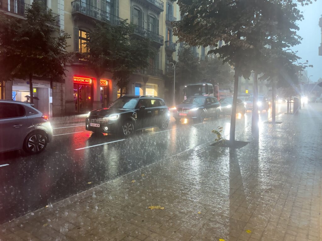
Heavy rain and storms could disrupt travel and outdoor plans across parts of Spain during the Pilar weekend. Credit: Edu Mangas/Shutterstock
Strictly speaking, Spain is on a holiday, but when it’s storming, and there’s a sudden drop in temperature, there’ll be trouble.
At the upcoming Pilar holiday, you may have to keep an umbrella handy and bring some warmer clothes, because of heavy rain, thunderstorms and a noticeable drop in temperatures, which will determine the weather for several areas of the country and travel plans.
Spain’s State Meteorological Agency, Aemet, is forecasting the coming of severe rainfall to some parts of mainland Spain and its islands. Although in some parts the situation is expected to improve for a while, another spell of unrest will probably come over the country before the long weekend.
A wet spell has followed in its wake. For the inhabitants and the visitors it could mean sudden downpours and difficult road conditions, cancelled plans and a surprisingly autumnal chill.
Spain storms and weather warnings: where heavy rain could hit first
The rains already have affected several regions and showers and potentially strong thunderstorms can be expected on the Cantabrian coast, the north-east and south-east of the country, and on the islands. Yellow warnings are in force in a large area which includes eastern Andalucia, Murcia, the Valencian Community, the Balearic Islands, Asturias, Cantabria, the Basque Country, Aragon and Catalonia.
The heaviest rainfall could be expected this wednesday October 7 in parts of the Catalan coast, especially on the coastline of Barcelona and the southern part of Girona, with totals of 40 litres per square metre or more per hour.
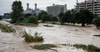
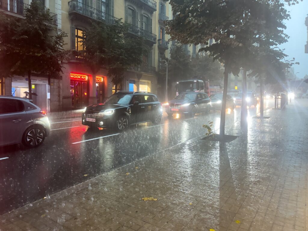
A rapid rainstorm can cause dangerously poor visibility, waterlogged roads and localized flooding, even though the weather has been relatively calm for some time. It is important for people who are driving, commuting or passing through the affected area.
Temperatures will also have to be considered. Cooler air moving into Spain from the north is expected to cause a considerable drop in temperature all over the mainland, especially around the Cantabrian region, with Asturias, Cantabria, the Basque Country and northern Navarra dropping six to eight degrees, an impression which will not be missed by those accustomed to the milder early-autumn conditions.
On Thursday, October 8, maximum temperatures in central Spain will hover at around 20°C, while in some north-western areas they may not get above 15°C. As night temperatures drop there is even a possibility of the first snowfall on the highest peaks of the Pyrenees.
Pilar long weekend forecast: a new DANA could disrupt southern Spain and the Canary Islands
On Thursday the cooler and humid northerly airflow is expected to continue, keeping rain and clouds over northern Spain and the Balearic Islands. Those parts of the Cantabrian coast, eastern Catalonia and the Balearics might experience thunderstorms, some of which could have hail. Elsewhere, on the mainland, conditions should be less agitated, but isolated showers are still possible. What will happen on the day when the holiday starts is a big question.
At the same time attention is concentrating on the south-west and the Canary Islands. On Friday, meteorologists will be watching whether a trough might develop into another DANA, an isolated high-altitude depression, between south-western mainland Spain and the islands.
If the system develops as expected, the axis of the bad weather may change considerably. In southern Spain, the Alboran Sea and the Canary Islands, we expect to see abundant rainfall and thunderstorms over the weekend, while the Balearic Islands may also experience very heavy rainfall in some local areas. This could make a big difference for those planning a trip to the beach, a picnic, sightseeing or long-distance trips during the holiday season.
The outlook is more favorable over much of central and northern mainland Spain on Friday, October 9, where the rains are expected to subside and the rainy spells to become more infrequent. The southern third of mainland Spain, the Alboran Sea area and the Canary Islands currently appear most exposed to rain, while the Cantabrian coast may see only occasional light drizzle.
Spain weather for October 12: travellers should keep plans flexible
The forecast becomes considerably less reliable towards the end of the weekend, especially for Sunday and Monday, October 12.
This is a very important uncertainty. The forecasting of DANAs is difficult for a few days in advance, because the slightest shift in its position has a great influence on where the heaviest rainfall occurs.
For Pilar holiday travellers, this means that the forecasts for towns and resorts will probably change as the weekend draws nearer. It is therefore advisable to be flexible with outdoor plans and, in particular, to check the latest Aemet forecast before leaving, especially if travelling by road or planning to travel in areas susceptible to intense rainfall.
The change in the temperature is also to be considered when packing. In those parts which have not been severely afflicted by the storm, the evenings and mornings may be decidedly cooler than they have been.
The outlook suggests a divided Spain: more settled conditions could emerge across parts of the mainland, while southern regions and the islands face a greater risk of thunderstorms and heavy rain.