SoCal moves from Halloween storms to temperatures in the 80s
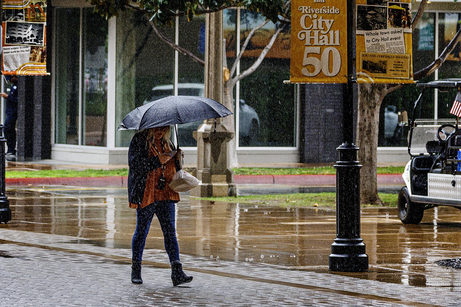
After a dark and stormy Halloween night with showers that continued into Sunday, Southern California can expect clear skies this week as well as hotter temperatures, particularly along the beleaguered coastline.
Beach hazard warnings will remain in effect along the coast until Monday at 6 p.m. because of gusty west winds that created choppy seas over the weekend and a southern swell carrying through the start of the week.
Calmer ocean conditions are then expected Tuesday and Wednesday, but an active storm pattern over the north Pacific will generate northwest swells that will likely impact the coastline starting Thursday and peaking Saturday, according to forecasters.
The weekend’s rain brought flood advisories Saturday night for Ventura, Orange and San Diego counties, but the region emerged relatively unscathed, with no major flash flood or mudslide events reported, according to the National Weather Service.
Most of the Los Angeles coast and metro area saw average rainfall of a quarter of an inch to an inch over the weekend, the National Weather Service said.
Showers varied across the L.A. County region, with some isolated areas seeing heavier precipitation. Alhambra, in the San Gabriel Valley, received some of the L.A. Basin’s highest rain totals at about an inch and a half. The corridor that connects Ventura, Oxnard, and Point Mugu State Park also got hit with heavier rain, with most of the area seeing half an inch to an inch and a half.
By late Sunday, the rain had cleared across Southern California, which should see “generally dry conditions with seasonal temperatures through Thursday,” said Devin Black, a meterologist with the weather service in Oxnard.
After Thursday, weak to moderate Santa Ana winds could bring low to moderate heat risk into the weekend, as a low pressure ridge builds over the region and inland winds sloping down from the mountains warm the air.
“The heat risk would probably be more likely near the coast,” Black said.
Paul Steward, a meteorologist with the the National Weather Service in San Diego, said temperatures could creep back up to the mid-80s by the end of the week.
“Then it looks like we might possibly get a return of some wet weather again the following week,” he said.
This weekend’s storms didn’t bring any major new erosion problems, said Steward, although areas that had been in the news during recent wave events likely saw some minor impacts.
San Diego, Orange, Riverside and San Bernardino counties saw a quarter of an inch to three-quarters of an inch of rain over the majority of coastal and inland areas over the weekend, with some higher amounts in the mountains. Downtown Los Angeles saw an average 0.7 inches of rain.
The return of wet weather toward the middle part of November is uncertain, said Black, but is suggested by some weather models.