
Japan Sees 30th Typhoon of 2026 as Storm Expected to Intensify
TOKYO –
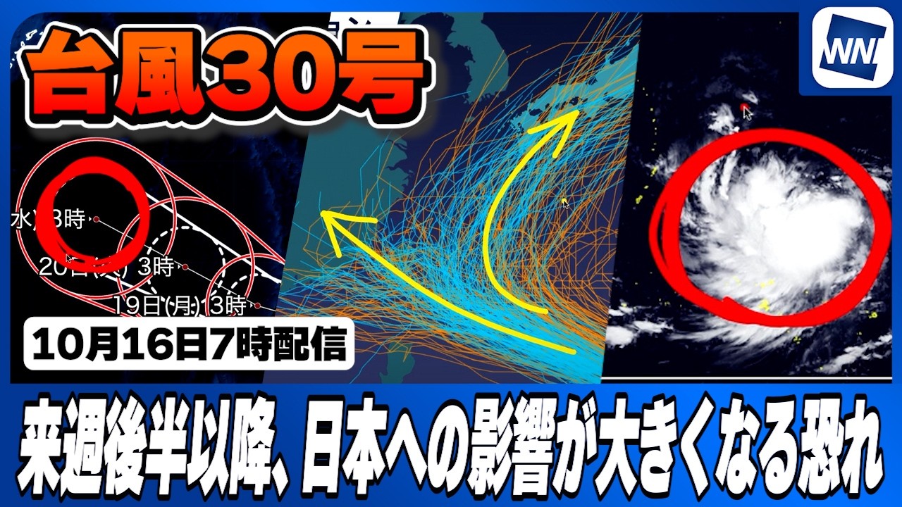
Typhoon No. 30 is located as of 7:00 a.m. on October 16 over ocean waters far south of the Japanese archipelago and is expected to gain strength as it moves westward, potentially impacting Japan starting late next week.
The storm is projected to reach “very strong” intensity by 3:00 a.m. on October 21, with maximum sustained wind speeds reaching 45 meters per second. Satellite imagery shows the system’s cloud pattern has not yet fully organized, but atmospheric conditions will support steady intensification over the coming days.
Current forecast models show Typhoon 30 advancing generally westward while developing a storm force wind zone by October 17. Maximum sustained winds are expected to reach 30 meters per second by 3:00 a.m. on October 17 as the storm progresses west across the Pacific Ocean.
Meteorological track predictions remain uncertain due to fluctuating atmospheric pressures. Numerical simulation models, including artificial intelligence frameworks and traditional physical models initialized on the evening of October 15, indicate that the storm’s ultimate course will depend heavily on the strength of a high-pressure system positioned to its east. Recent physical model runs have shifted farther west, aligning more closely with AI model forecasts that project initial movement toward the Nansei Islands.
While the primary consensus tracks the storm toward the Nansei Islands, computer simulations diverge significantly regarding its subsequent trajectory. Some models indicate a continued westward course, while others show the typhoon curving northward toward Honshu. Meteorologists warn that the storm poses a direct threat to the Nansei Islands, with a strong possibility of severe weather affecting main island areas if it turns north. Weather officials advise monitoring updated forecasts as the system develops.
Source: ウェザーニュース