
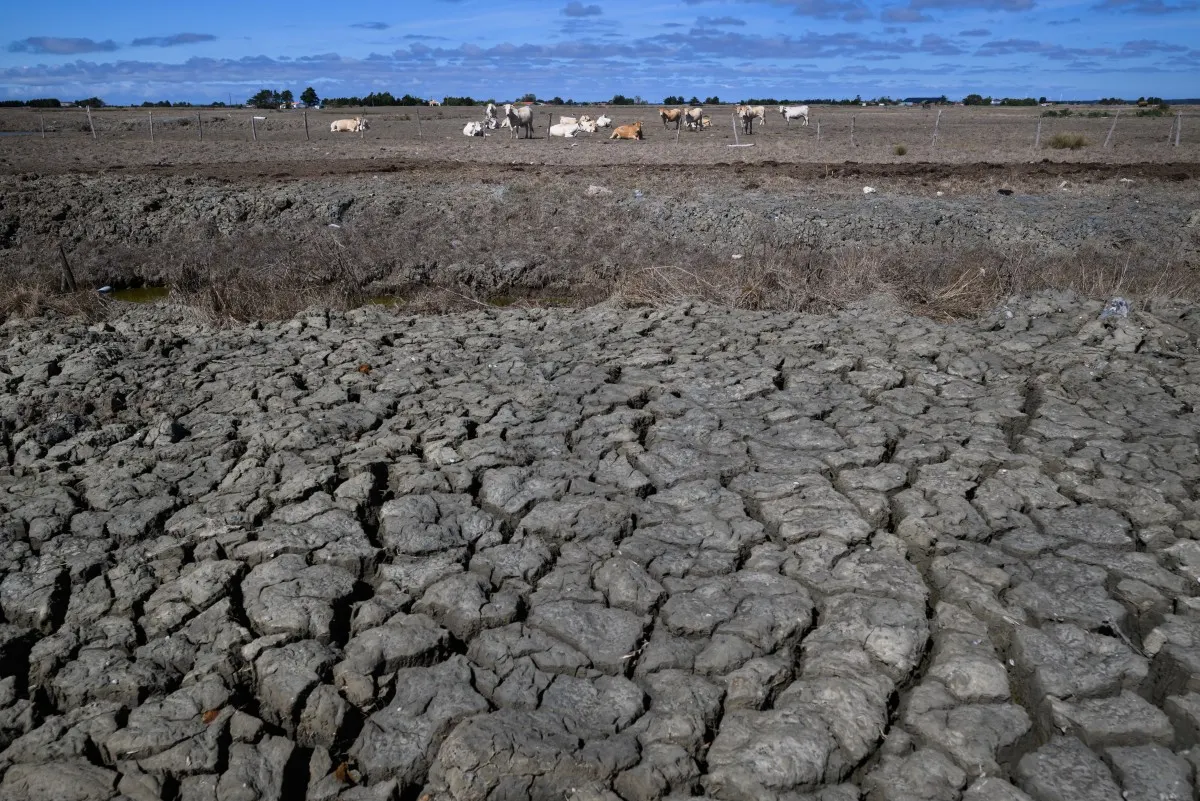
French water restrictions continue after record-breaking September
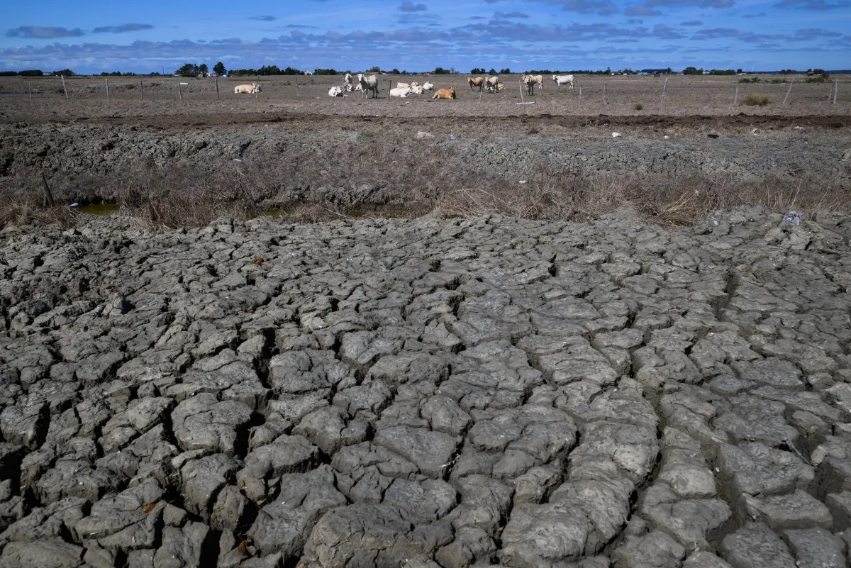
September was one of the driest on record, and French forecasters say above-average temperatures could continue into October.
Despite the recent unsettled weather the start of the month has seen, the country is heading into October with a significant rainfall deficit and historically dry soil.
In fact, September 2026 was the second-warmest September ever recorded in France, according to Météo-France’s latest climate report, published on Friday.
Average temperatures were 3.1C above the 1991-2020 seasonal average, putting September just behind the record set in 2023. It was also the third-driest September since records began in 1958, with rainfall around 70 percent below normal across France. Only September 1977 and September 1985 were drier.
Don’t miss our journalists’ daily news roundup from France
Historic soil drought
The lack of rain has also deepened the country’s drought. Météo-France said its national soil-drought indicator reached a level never previously observed for this time of year. By the end of the month, almost the whole of France was affected by a level of soil drought that would, on average, occur only once every 10 years.
The southwest to northeast corridor has been particularly badly affected. The situation is not simply the result of a dry September. Since March, France has not recorded a single month with above-average rainfall, according to Météo-France.
Drought levels in France (Météo-France).
According to the latest figures from the Ministry for Ecological Transition revealed by France Inter, 81,300 people in the country were relying on water delivered by tanker or in bottles as of September 23rd for drinking, cooking and washing.
The government said alternative supplies, including bottled water and authorised water tankers, can be used when it is no longer possible to guarantee drinking water through the public network.
READ ALSO: Could Saint Malo in ‘rainy Brittany’ really run out of tap water?
Map of water restrictions in the country (Map: VigiEau)
What do the various levels of water restrictions mean?
Level 1 – vigilance (pale yellow on the map). The first step is issuing a drought warning. This doesn’t bring in any restrictions, but lets residents know that there is a risk of drought and restrictions could be introduced soon.
Level 2 – alert (orange). The lowest level of alert mainly concerns farmers, who must reduce their water usage by 50 percent. Watering of public green spaces such as golf courses is restricted, and for households, there are limits on car washing, while gardens can only be watered at certain times (usually evening).
Level 3 – alert renforcée (light red). Further restrictions on agricultural water usage and a total ban on household activities such as car-washing and watering lawns or flower beds (watering of vegetable gardens is still permitted during certain hours).
Level 4 – crise (dark red). Ban on all non-priority water usage. Households can use water for drinking, cooking and washing.
There are currently 79 départements with the highest alert warning – ‘crise’.
Not enough rain to ease the drought
At the end of September, an intense Mediterranean weather event brought particularly heavy rain to the Gard and Hérault départements in the south of the country.
Further storms are expected around the Gulf of Lion on Friday night and Saturday, with potentially heavy rainfall in parts of Languedoc-Roussillon also in the south.
But isolated episodes of very heavy rain do not necessarily reverse a widespread soil drought, particularly after months of exceptionally dry conditions due to climate change.
And for now, there is little sign of a sustained return to cooler-than-normal weather. Météo-France said temperatures dropped back towards seasonal averages on Thursday, October 1st, but were expected to rise again over the weekend.